Spatiora: Agri
Decision Support System for Agriculture
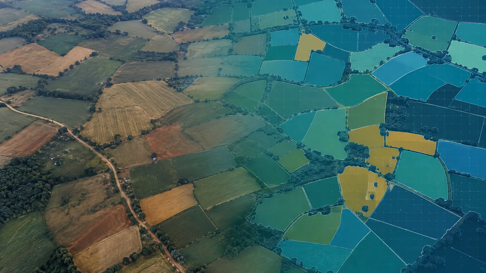
Spatiora: Agri transforms geospatial intelligence into actionable agricultural insights, helping organizations make informed decisions with clarity, confidence, and precision.
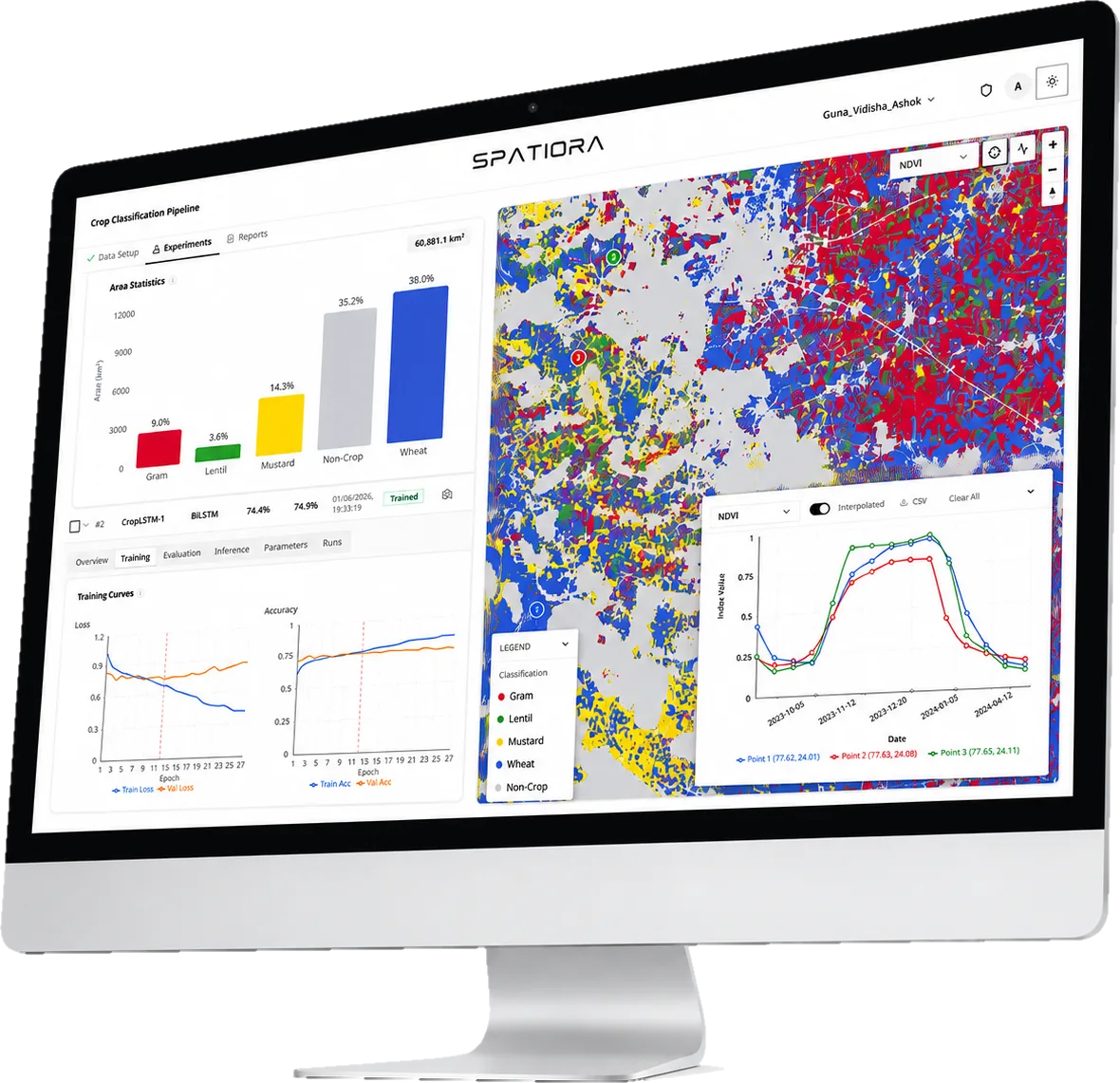
- Crop Mapping
- Health Monitoring
- Yield Estimation
- Risk Assessment
- Irrigation Management
- Insurance Services
How We Turn Data Into Crop Insights
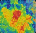
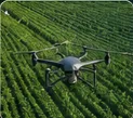

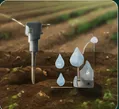
We collect satellite, drone,
weather & field sensor data

We process the data using
AI & advanced analytics
We detect crop stress,
anomalies & risks
We deliver by dashboard,
file export and API
Want to see it on your districts?
Send us an area of interest and a season. We will run the pipeline and walk you through the output.