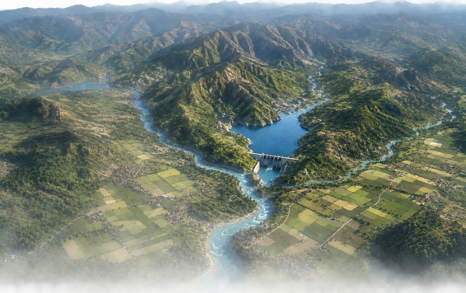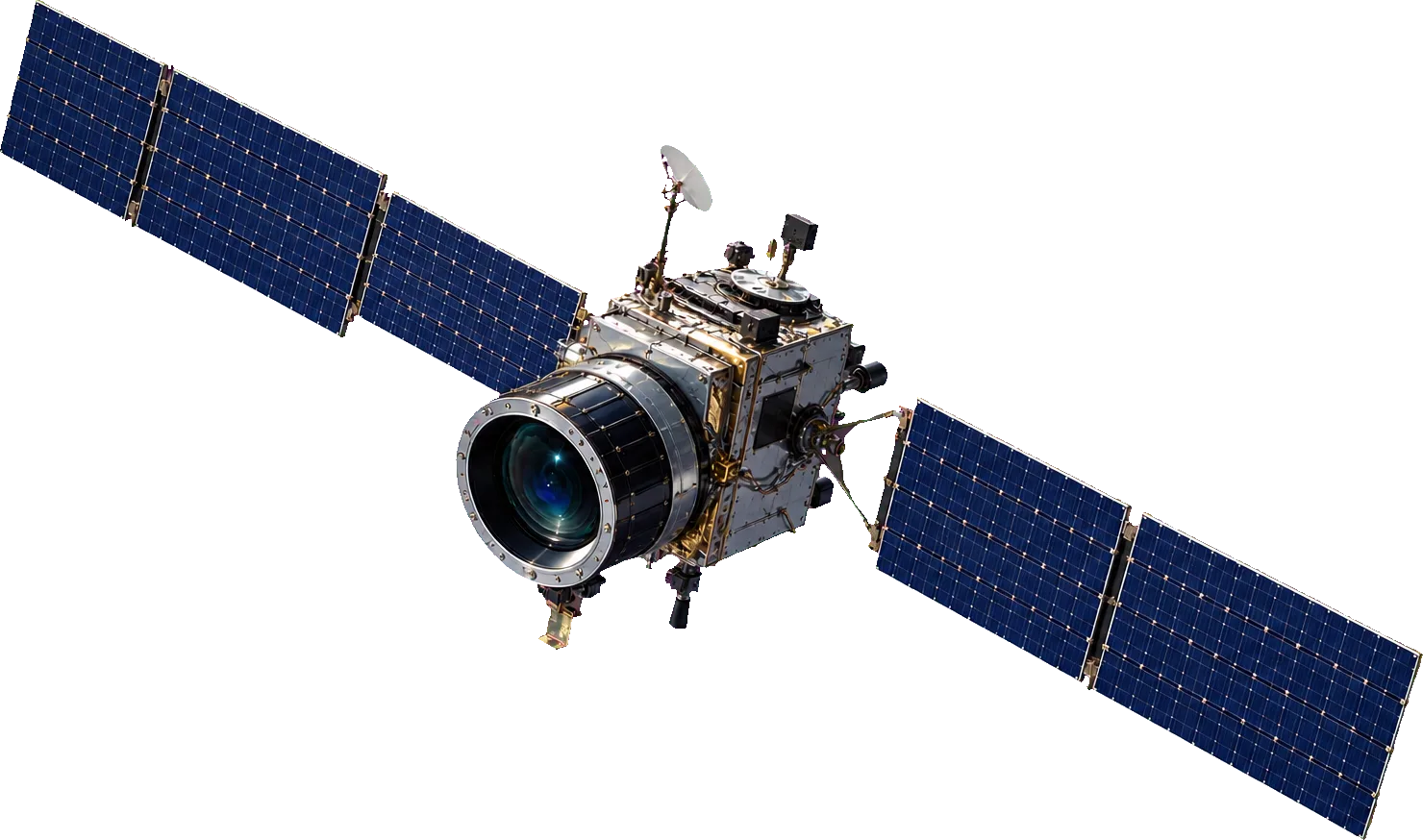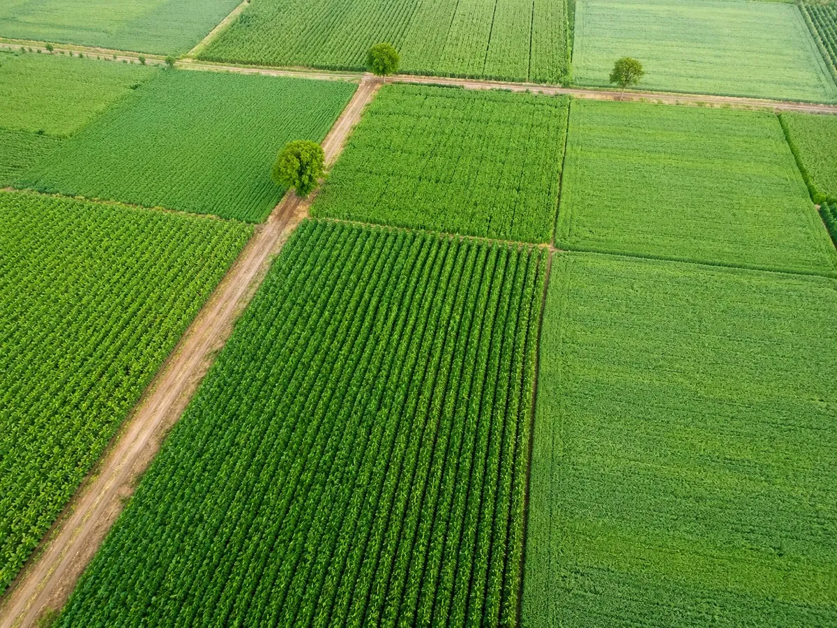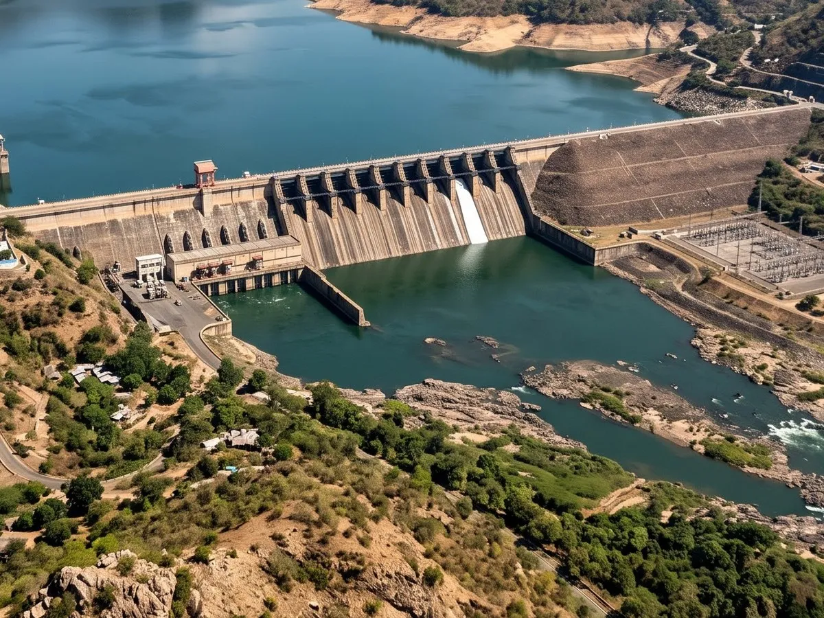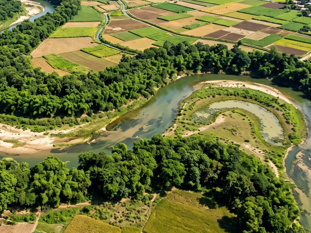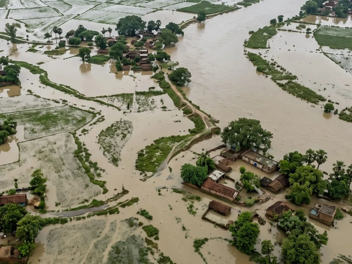
Spatiora turns satellite, weather and ground observations into operational systems that help decision-makers anticipate risk, manage resources and respond to a changing world.
We fuse observations from space, the atmosphere and the ground to build a dynamic understanding of the system.
Automated end-to-end pipelines and cloud geospatial platforms that run in real time and adapt across regions and use cases.
We deliver forecasts, early warnings and clear insights to the people who plan, operate and respond, so they can act in time.

Have a question or want to explore how Spatiora can support your work? We’d love to hear from you.