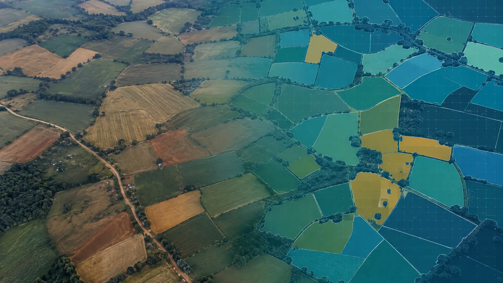
Spatiora: Ground Truth
Crop Ground Truth Correction
Spatiora: Ground Truth turns noisy field survey records into data you can train on, clearing duplicate, conflicting and misplaced points, then pairing every record that survives with the field boundary and crop label it belongs to.
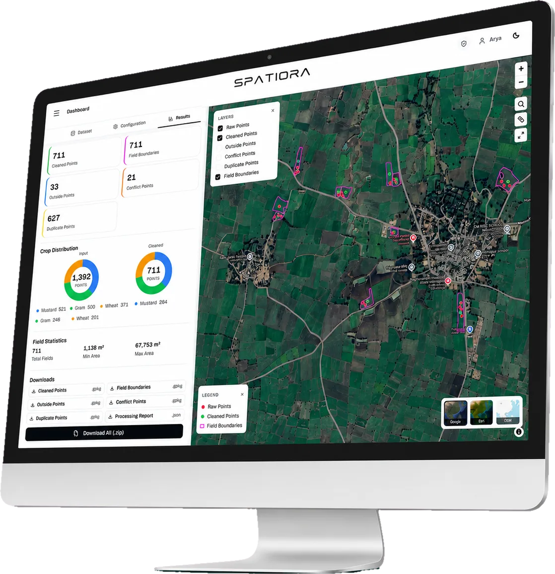
- Cleaned Ground Truth
- Labelled Field Boundaries
- Processing Reports
Turning Field Data Into Reliable Training Data
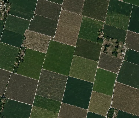
We ingest ground truth points
from field survey

We process the data using
AI & spatial analytics
We detect duplicates, conflicts
& misplaced points
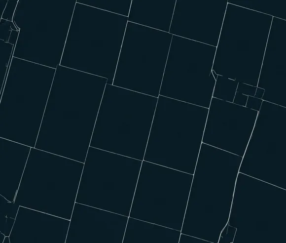
We deliver clean layers
ready to use
Have survey data that needs cleaning?
Send us a sample of your ground truth records. We will run them through and show you exactly what was corrected, what was rejected and why.