
Spatiora: IRMS
Integrated Reservoir Management System
Spatiora: IRMS turns live gauge and catchment observation into inflow an operator can act on, forecasting streamflow across the basin and translating it into release decisions that balance storage, demand and flood risk.
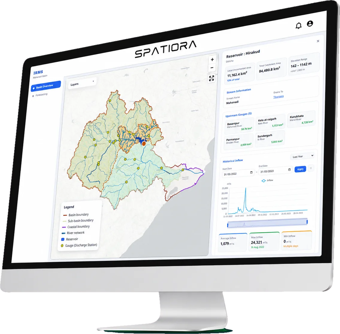
- Real-Time Inflow Forecasting
- Forecast-Led Operation
- Data Assimilation
- Optimal Release Policy
- Extreme Event Analysis
- Reports and Analytics
Turning Water Data Into Release Guidance
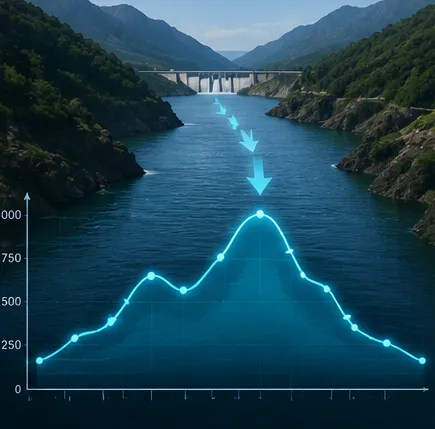
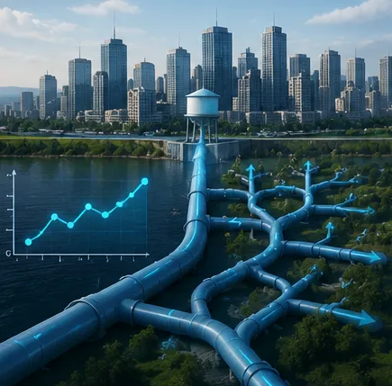


We collect streamflow, rainfall,
atmospheric and surface
variables and catchment
observations

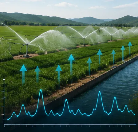
We assimilate every reading
and run the basin forecast
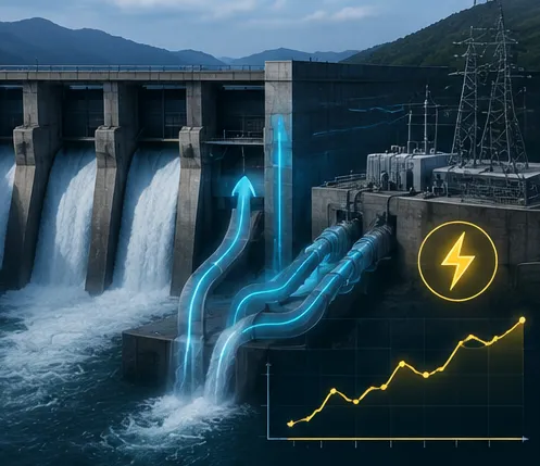
We flag inflow peaks,
storage and flood risk,
with real-time alerts
We deliver release schedules
by dashboard and API
Operating a reservoir or a basin?
Send us the system and the season you care about. We will run the forecast and walk you through the release schedule it produces.