
Spatiora: Riparian
Riparian Zone Analysis
Spatiora: Riparian reads the corridor either side of a river, modelling where bank vegetation can establish and where it has been lost, then turning that into planting decisions and flood resilience an agency can defend.
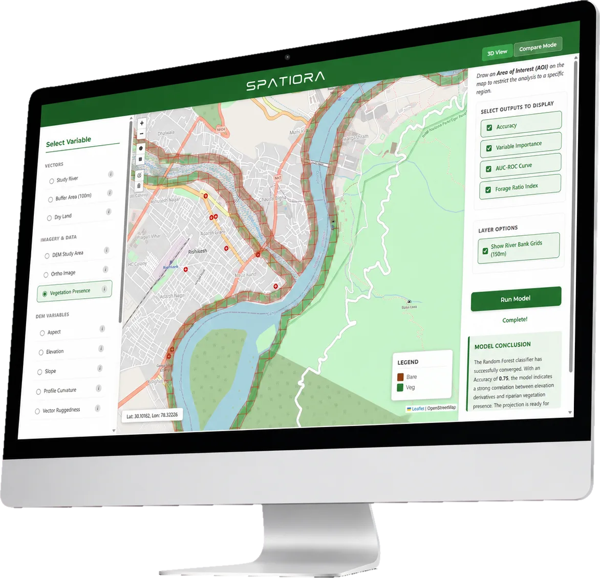
- Vegetation Probability Maps
- Species and Planting Design
- Disaster Management Support
- Reports and Analytics
Mapping River Corridors For Resilience
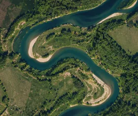

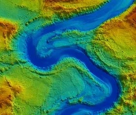
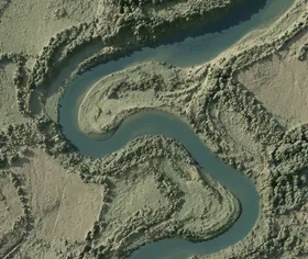
We take in imagery and terrain
for the river corridor

We train a vegetation model
on observed bank cover
We project probability across
every bank cell
We deliver species plans
and flood resilience maps
Have a river corridor to restore?
Send us the reach you care about. We will run the model and walk you through the vegetation projection and the planting it implies.